I'm interested in environmental research using GIS and Earth data to answer questions for topics ranging from land management and disaster mitigation, to ecosystem health, soils, hydrology, species migration, and more. Check out my recent work below!

Identifying Land Swap Opportunities to Improve Habitat Connectivity at Pawnee National Grassland
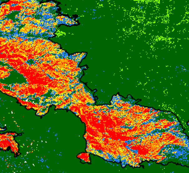
Mapping Burn Severity of Colorado's Two Largest Wildfires
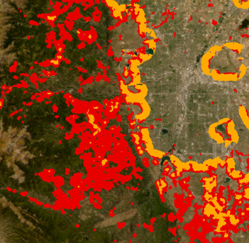
The Wildland Urban Interface in Colorado — StoryMap
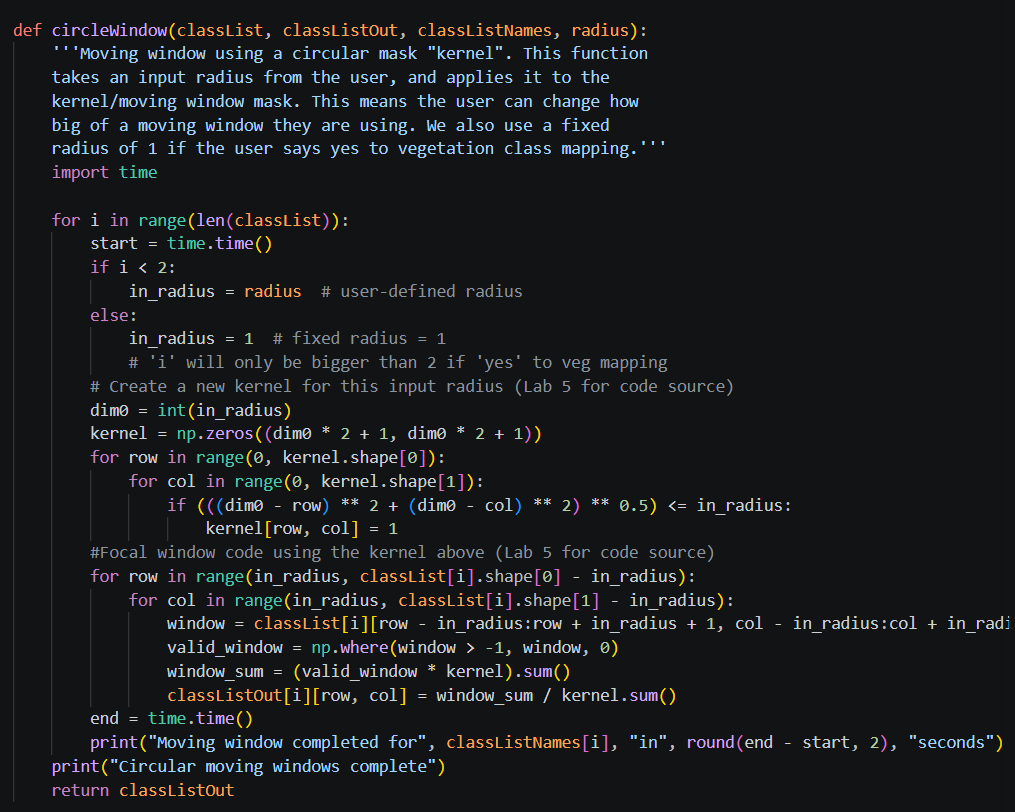
Python Tool for Mapping Wildland-Urban Interface

Habitat Suitability for the Great Basin Bristlecone Pine under Climate Change

Land Cover Classification of the Cache la Poudre River Watershed in Northern Colorado

Urban Greenspace and Asthma Prevalence in Columbus, Ohio in 2023

Analysis of the Migration Range of the American Redstart (Setophaga ruticilla) from 2004 to 2024

Analysis of Vegetation Health in Rocky Mountain National Park Using NDVI Data from 2000 to 2024

Analysis of Annual Migration Patterns of the Baltimore Oriole (Icterus galbula)

Climate Analysis of Aspen, Colorado Using Temperature Data from 1980 to 2025

Remotely Sensing Glacial Retreat and Snowpack Levels in Saas-Fee, Switzerland

Spatial Analysis of the Glaciers in Grand Teton National Park from 1994 to 2015

Cartography Examples

Statistics with Geographic Data (R)